Islamic Republic Of Iran
|
|
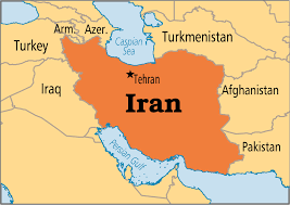
Regional Map of Iran:
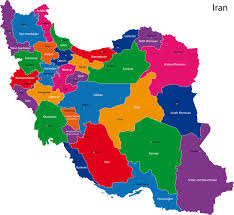
Country Specific Map of Iran:
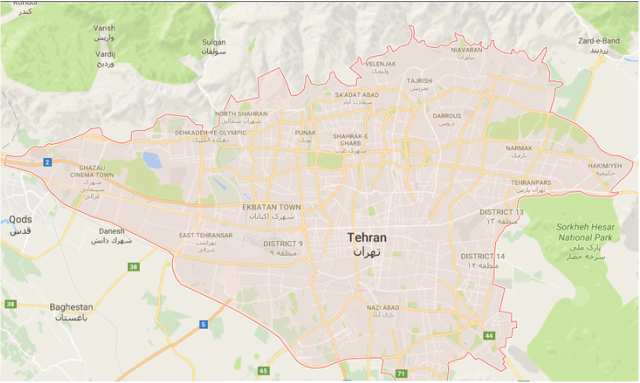
Country Map Centered on Capital City
Area
Total:1,648,195 sq mi
Land:1,531,565 sq mi
Water:116,600 sq mi
Total:1,648,195 sq mi
Land:1,531,565 sq mi
Water:116,600 sq mi
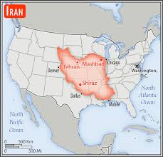
Iran Compared to the US
Countries that Border
Afghanistan, Armenia, Azerbaijan, Iraq, Pakistan, Turkey, Turkmenistan
Afghanistan, Armenia, Azerbaijan, Iraq, Pakistan, Turkey, Turkmenistan
Border
Land: 5,894 sq mi
Coast: 2,440 sq mi
Land: 5,894 sq mi
Coast: 2,440 sq mi
Climate: Hot, dry climate characterized by longs, dry summers and cool winters
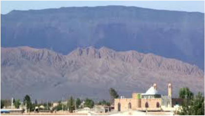
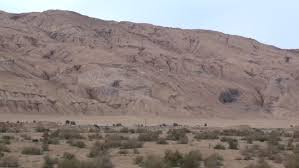
Description of Terrain
The terrain of the Islamic Republic of Iran ranges. There are mountains, deserts, plateaus, volcanoes, and . There is the Dasht-e Kavir and Dasht-e Lut deserts to the east, Armenian highlands in the northwest, the Khuzestan Plain in the southwest and the Caspian Sea Plain in the north. In the northwest to the southeast is Zagros Mountains with peaks over 3,ooo meters.
The terrain of the Islamic Republic of Iran ranges. There are mountains, deserts, plateaus, volcanoes, and . There is the Dasht-e Kavir and Dasht-e Lut deserts to the east, Armenian highlands in the northwest, the Khuzestan Plain in the southwest and the Caspian Sea Plain in the north. In the northwest to the southeast is Zagros Mountains with peaks over 3,ooo meters.
Elevations
The highest elevation of Iran is Mount Damavand, a mountain part of the Alborz mountains. The lowest elevation is the Caspian Sea.
The highest elevation of Iran is Mount Damavand, a mountain part of the Alborz mountains. The lowest elevation is the Caspian Sea.
