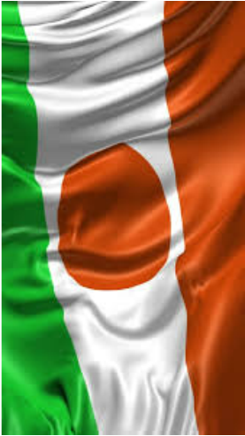
Niger
|

|
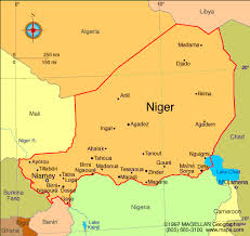
Regional Map of Niger
Map of Niger
Map of Niger's Capital

Area
Total: 1,267,000 sq mi
Land: 1,266,700 sq mi
Water: 300 sq mi
Total: 1,267,000 sq mi
Land: 1,266,700 sq mi
Water: 300 sq mi
Size Comparison to the US
Niger is roughly the size of two texas'
Niger is roughly the size of two texas'
Countries that Border
Algeria, Benin, Burkina Faso, Chad, Libya, Mali, Nigeria
Algeria, Benin, Burkina Faso, Chad, Libya, Mali, Nigeria
Border Distance
Land: 5,834 sq mi
Coastal: 0 sq mi (landlocked)
Land: 5,834 sq mi
Coastal: 0 sq mi (landlocked)
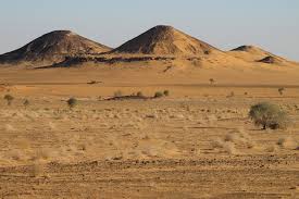
Climate
The climate of Niger is desert; mostly hot, dry, dusty, tropical in the extreme south
The climate of Niger is desert; mostly hot, dry, dusty, tropical in the extreme south
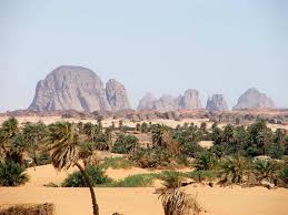
Terrain
Desert plains, dunes, flat plains in south, hills in the north
Desert plains, dunes, flat plains in south, hills in the north
Elevation
Highest: Idnoukan-n-Taghes
Lowest: Niger river
Highest: Idnoukan-n-Taghes
Lowest: Niger river
